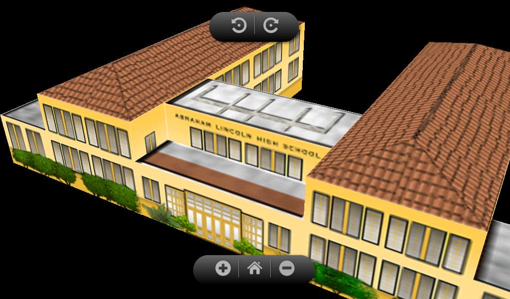
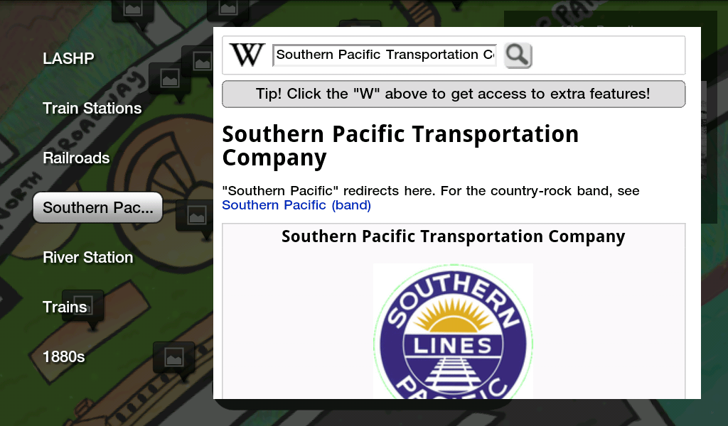
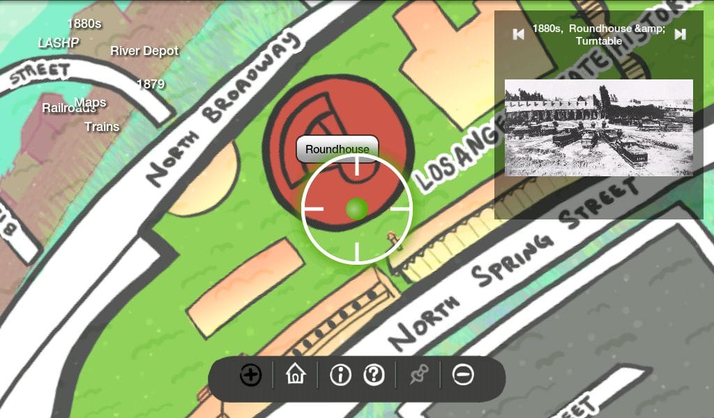
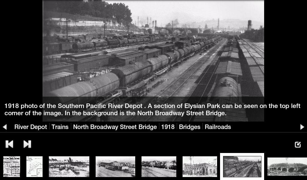
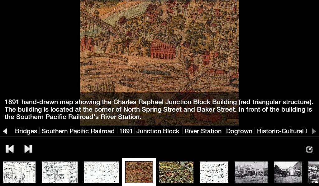
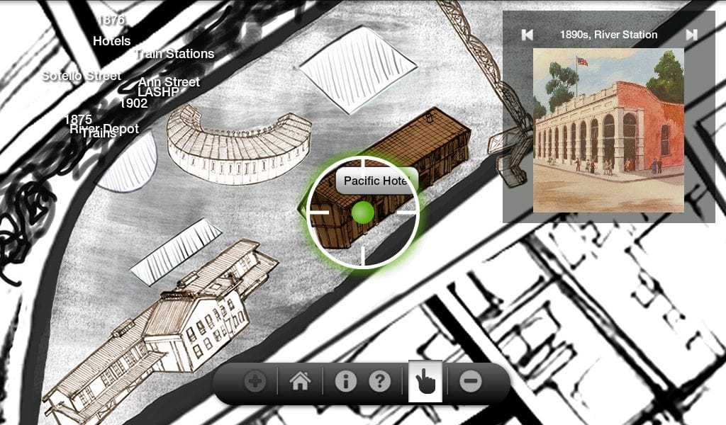
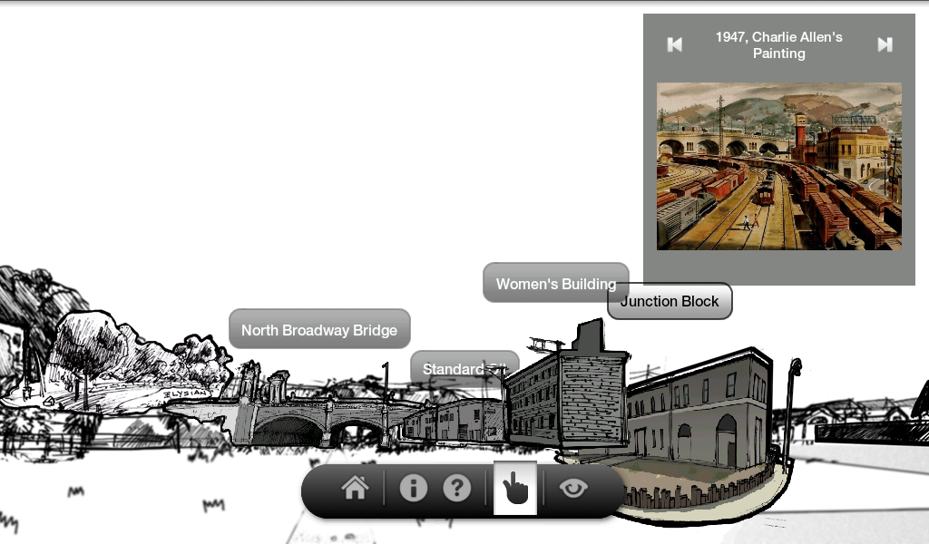
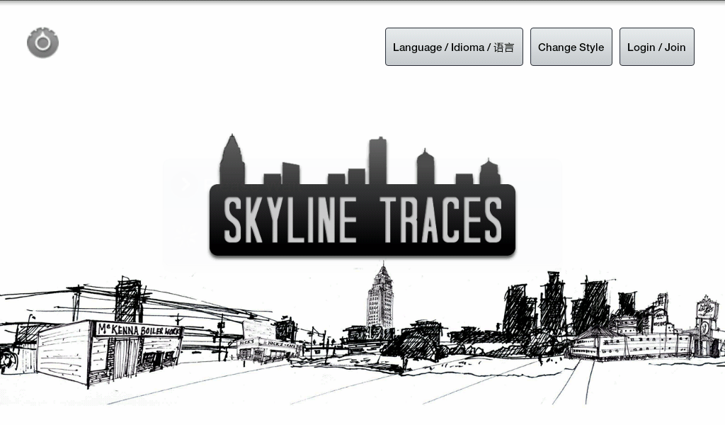
Skyline Traces was a mobile application developed as part of REMAP’s IMLab partnership with California State Parks. Using GPS tracking, it created a window through which users could explore the hidden history of Los Angeles State Historic Park (LASHP) and its relationship to the City of Los Angeles.
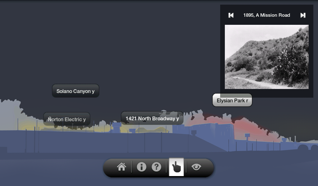
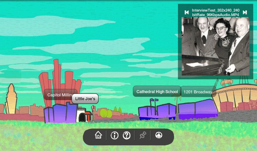
Visitors carried a tablet to explore historical and thematic connections among LASHP, its neighborhoods, and Los Angeles itself. For example, when visitors walked over landmarks now underground, the history was brought to life automatically, and interpretive text, images and sound were loaded. Raising the tablet to the horizon switched the tablet to an “augmented reality” interactive overlay of the city skyline. By touching the outlines of buildings in the skyline, visitors could explore media about their history and connections to the city.
Team: Fabian Wagmister, Jeff Burke, Jasleen Singh, Ren Rong, Dominic Foong, James Dellemonico, Taylor Fitz-Gibbon.
2011-2013.
